Louie Rides A Bike
alaska to patagonia
HELP LOUIE HELP OTHERS!
Alzheimer's Association
For every mile of pedaling Louie is looking for others to help out and donate a thin dime per mile to the Alzheimer’s Association. The goal is to raise $2,200 over the 22,000 miles from Alasaka to Patagonia and beyond. That’s just a skinny sawbuck for every 100 miles of Louie sweating his fat arse off.
So get off your rotund derrière and support a few miles of Louie’s riding for a good cause.
100% of your shekels goes to advanced research to end Alzheimer's Disease.

Timing is everyting
For the best cycling experience there are optimal times to be on the road. For the extreme North and South that means in their respective summer months, because Louie really doesn’t like cold weather cycling. In Mexico, it means during the dry season and avoiding the blazing hot summer months. Central America that means in the dry season, even though it is not possible to travel the rainy months. In most of South America, the best time is during their winter months outside of the rainy peirod. The map at left describes the windows of opportunity that will try to be followed.
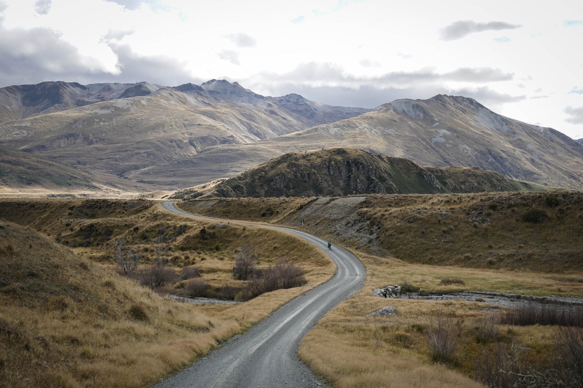
The Route
The first proposal of infrastructure connecting the two continents was proposed at the first Pan-American Conference in 1889. The original plan was to build a railroad but the idea never came to fruition. As cars started to become the popular mode of transportation, the concept changed into a highway.
After the great depression, all countries from North to South signed a convention to speed up construction. Mexico was the first country to complete their section of the highway network. In Latin America, the roads that are part of the official Pan-American highway are also marked as Vía Panam or Vía Panamericana. The only official section starts in Laredo, Mexico and ends in Buenos Aires, Argentina. The USA was only a supporter of the convention, but was never part of the plan. Most people consider the entire highway system in the USA as part of the Pan-American. Similarly in Canada there is no official route. See next section for point to point milestones.
milestones
It’s as simple as connecting the dots on Louie’s map, ha, ha, ya right! There’s a hundred different ways to break down the route, this is just one of them. Eventually there will be plenty of “on the road” images to follow once Louie gets started and posting to his blog.


